The Camino Inglés preserves the memory of pilgrims who reached Galicia by ship. They sailed from England, Ireland, Scotland, Flanders and Scandinavia, landed at ports including A Coruña and Ferrol, then continued on foot to Santiago.
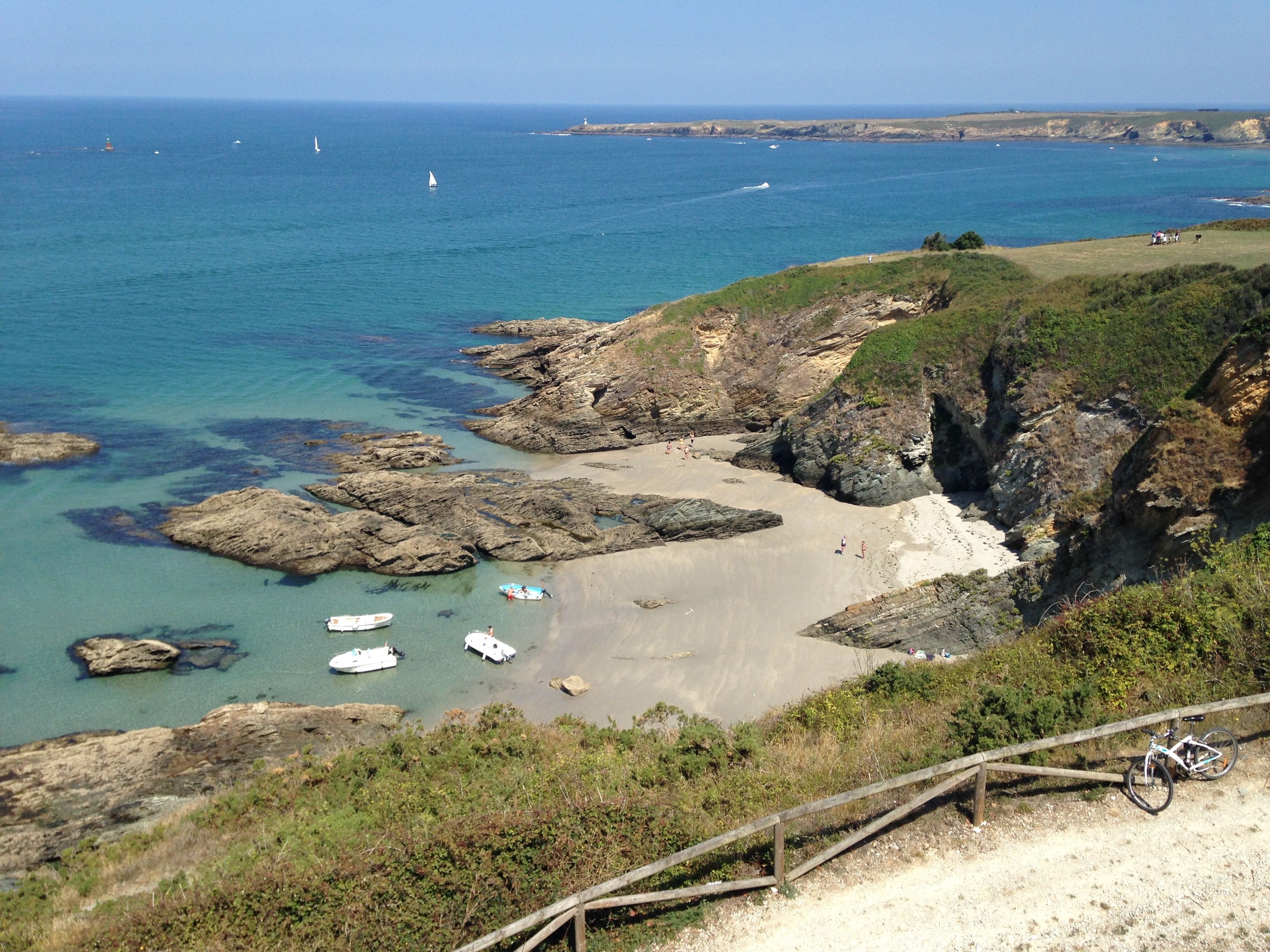
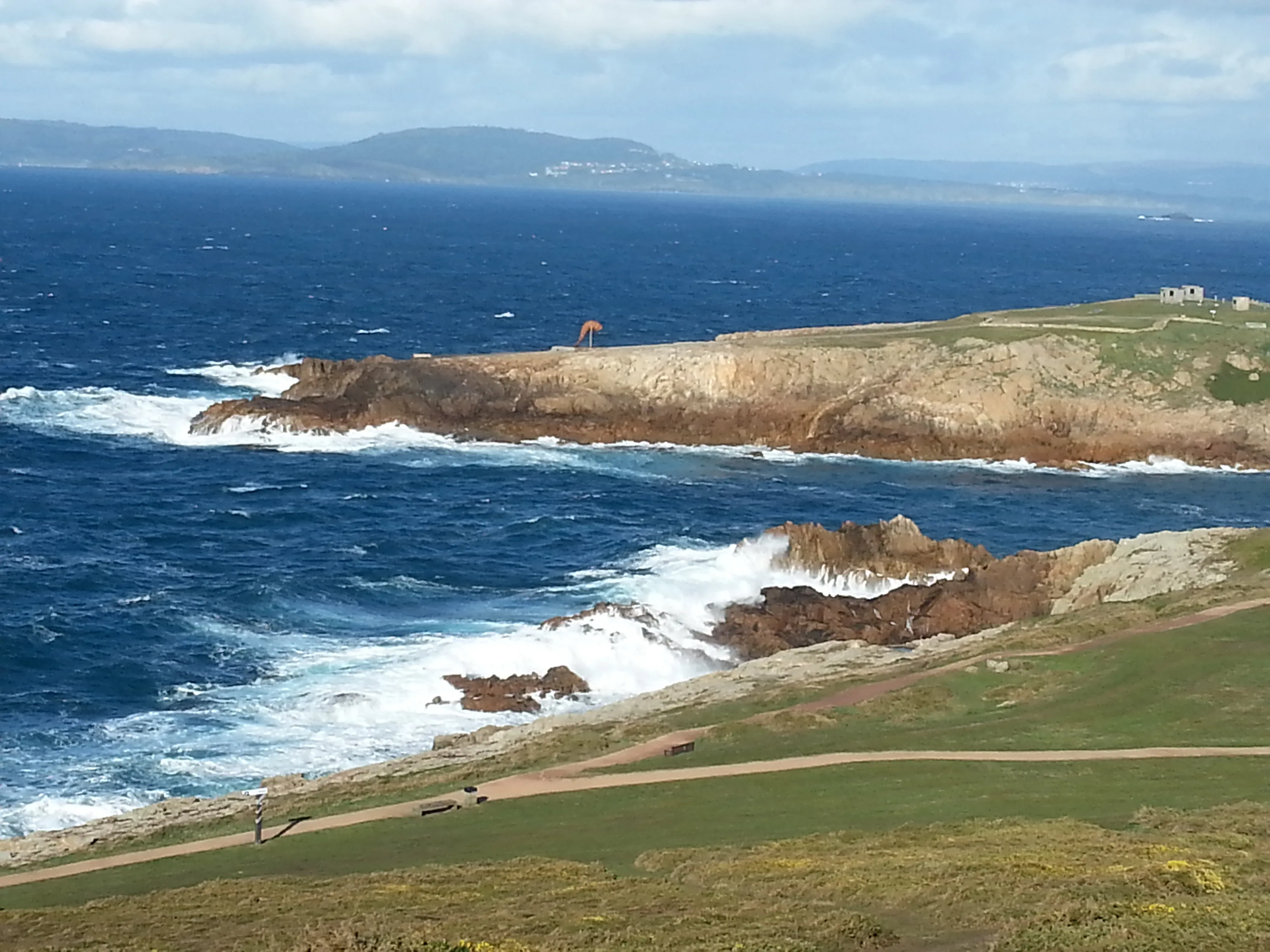
For a medieval traveler, the sea could be faster than months of roads through France and northern Spain. The bargain was uncertainty: ships were crowded, Bay of Biscay weather was dangerous and arrival depended on wind, tide and the captain’s chosen port. Reaching Galicia safely made the first view of the coast a pilgrimage milestone in its own right.
The first written and material evidence
In 1147, English, German and Flemish crusaders visited the tomb of Saint James while sailing toward the eastern Mediterranean. Part of that fleet then helped Afonso Henriques capture Lisbon. The Icelandic monk Nicolás Bergsson described an extraordinary journey made between 1154 and 1159 that included Santiago.
English royal records later licensed ships to carry pilgrims to Galicia. Fourteenth- and fifteenth-century English coins and ceramics found during excavations at Santiago Cathedral confirm the traffic. The route declined sharply after Henry VIII’s break with Rome changed English religious practice and restricted Catholic pilgrimage.
The traffic was considerable in the fifteenth century. English pilgrims commonly sailed from ports such as Bristol, Plymouth, Southampton and London, while Irish travelers departed from Waterford, Dublin and other harbors. A Coruña was the principal landing place because its sheltered harbor and established trade connections offered a direct overland journey to Santiago. Ferrol, Neda and other estuary ports also received ships.
Sea pilgrims brought more than devotional intent. Their vessels carried wool, cloth, wine and commercial goods, and the same harbor communities dealt with merchants, sailors and pilgrims. The English Way therefore belongs to Atlantic history as much as to the history of roads.
Was it a Roman route?
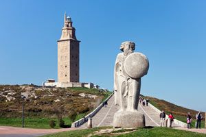
A Coruña’s Roman lighthouse, the Tower of Hercules, proves the antiquity of maritime connections on this coast. Roman roads also linked Galician settlements inland. The English Way itself, however, is defined by medieval sea pilgrimage and the overland approaches from the ports rather than by one Roman road.
Ferrol, Pontedeume and Betanzos
The longer modern route starts in Ferrol, whose sheltered estuary later made it one of Spain’s great naval centers. The eighteenth-century Magdalena district was laid out in a rational grid for naval officers and workers, creating a very different beginning from a medieval hill town. The path rounds the estuary through Neda before approaching Pontedeume.
Pontedeume sits where the River Eume meets the sea. The Andrade family financed the great medieval bridge and controlled much of the surrounding territory from castles and towers. An extra visit can reach the forest of Fragas do Eume and the monastery of Caaveiro, hidden above the river.
The climb out of Pontedeume leads toward Betanzos, one of Galicia’s former provincial capitals. Its sloping medieval streets contain the Gothic churches of San Francisco and Santa María do Azougue. The town is also famous for a soft, barely set tortilla made without onion, a reward that has become part of the modern walker’s experience.
Beyond Betanzos, the route becomes rural and hillier. The former pilgrim hospital at Bruma recalls the older need for shelter at this inland junction. The Ferrol and A Coruña branches unite nearby before continuing through Ordes and Sigüeiro, then entering Santiago from the north.
The route from Ferrol covers the qualifying walking distance for the Compostela. A Coruña is historically the great sea-pilgrim port but lies less than 100 km from Santiago. Pilgrims who want a certificate from that branch need to meet the Pilgrim Office’s additional conditions, which can include completing qualifying distance in their own country before sailing or traveling to Galicia.
What the route feels like today
The English Way packs estuaries, naval history, Gothic towns and green Galician countryside into less than a week from Ferrol. It begins beside salt water, repeatedly climbs away from the coast and ends through eucalyptus woods and expanding suburbs. There are fewer pilgrims than after Sarria, so repeated encounters at breakfast and along the path quickly create a small Camino community.
Its compact length is appealing, but the hills are real. The days around Pontedeume and Betanzos contain sharp climbs, while the inland stretch has fewer spontaneous stops than the busiest French Way stages. A well-designed itinerary protects time for the towns instead of treating them only as beds between walks.
How it compares
The English Way is compact, entirely within Galicia and less crowded than the final French Way. It includes estuary landscapes and excellent historic towns, although its shorter duration gives less time for the gradual rhythm of a long Camino.
For maps, stage profiles and the Xunta’s route notes, open our official English Way guide and PDF resource.
Ultreya Tours does not currently organize tours on the Camino Inglés. If this is the route you want to follow, send us your dates and preferences and we will explore a private itinerary from Ferrol or A Coruña.