Draw a ruler line from Saint-Jean-Pied-de-Port to Santiago and it misses most of the Camino Francés. The pilgrimage road swings south toward Pamplona, Logroño and Burgos, crosses the high plain through León, enters the enclosed basin of El Bierzo and climbs again before reaching Galicia.
No single medieval planner selected that line. It grew from older roads and a series of geographical decisions. Where could people cross a mountain range? Which bridge remained usable when a river rose? Where did a valley offer water, food and a town before nightfall? Once rulers, monasteries and hospitals invested in those places, geography became a recognized pilgrimage route.
The history of the Camino Francés is therefore inseparable from the ground beneath it. Seven sections explain why the route is where it is.
1. The Pyrenees funnel the route toward Roncesvalles
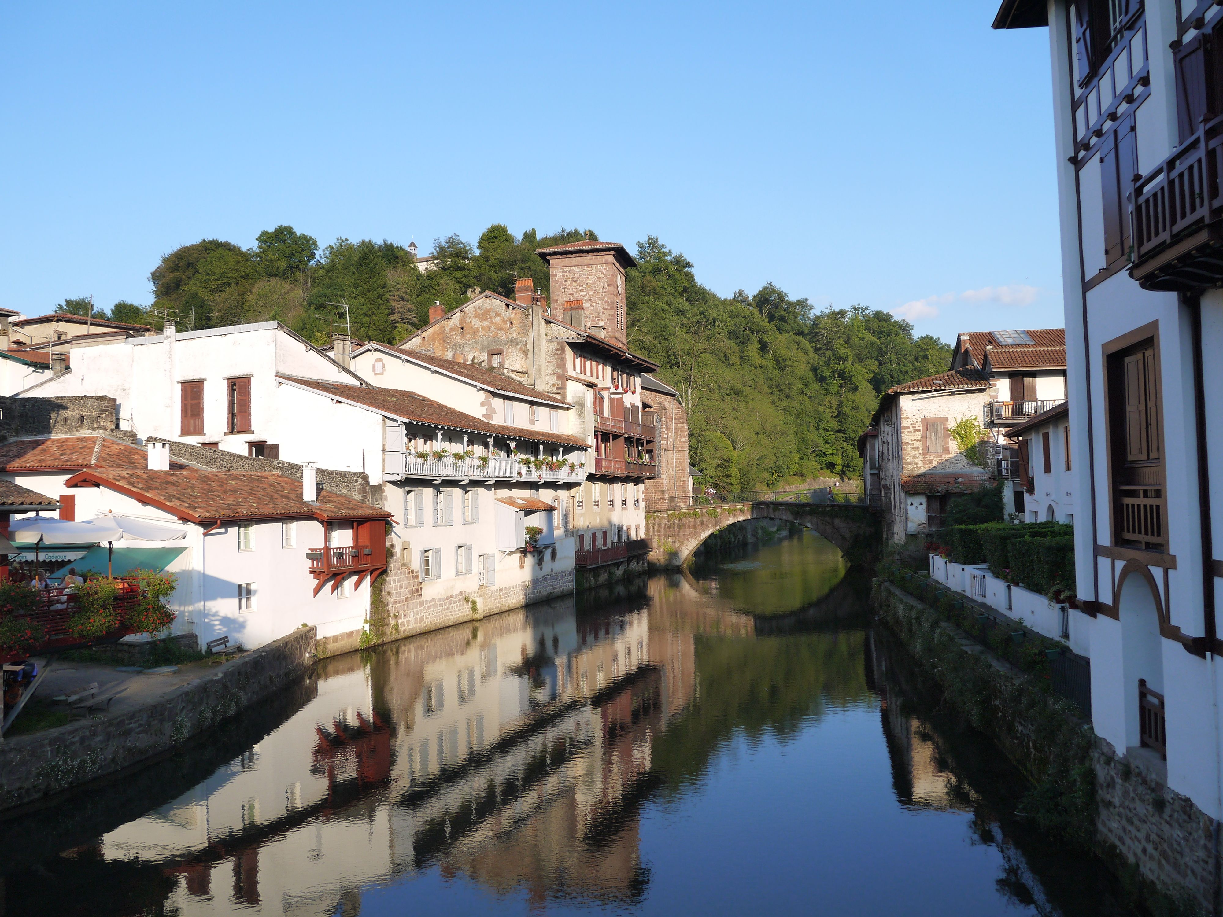
The Pyrenees form the first obvious barrier. The Camino uses the western end of the range, where passes connect the French side with the basin of Pamplona. Saint-Jean-Pied-de-Port developed at the foot of these crossings; its name literally identifies its position below the pass.
The high route now called the Napoleon Route crosses exposed upland before descending to Roncesvalles. Its modern name is much later than the pilgrimage, and it should not be imagined as the only line medieval people used. The lower Valcarlos valley offered another passage, particularly when weather made the heights dangerous.
Roncesvalles mattered because the crossing created a need for shelter. Its hospital and religious community stood where people emerged from a difficult mountain journey. The famous institution followed the geography rather than the mountain pass becoming important because pilgrims wanted to visit a monastery.
2. Pamplona occupies the first great basin
After the descent, the route reaches the broad Pamplona basin. Water, cultivable land and roads through the western Pyrenees had supported settlement here long before the Camino. Roman Pompaelo already occupied this strategic position.
The route then crosses the Sierra del Perdón. From its ridge, the next section of Navarra becomes visible: open country descending toward the valleys that lead to Puente la Reina. The climb feels like an interruption, but the ridge separates two natural areas that any westward route must negotiate.
At Puente la Reina, several approaches traditionally associated with the French pilgrimage roads meet near the River Arga. The town’s name, its long bridge and its narrow main street reveal what made the place useful. A dependable bridge concentrated movement; the town grew along the traffic approaching it.
3. The Ebro draws the Camino through Logroño
The Camino does not continue straight west from Puente la Reina. It bends southwest through Estella and Los Arcos toward Logroño, where an established crossing of the Ebro gives access to La Rioja.
This is also wine country. The Ebro basin and its tributaries created a fertile corridor between mountain systems. Medieval towns, monasteries and markets developed along routes already used for agriculture, trade and government. Pilgrims benefited from that inhabited landscape.
Beyond Logroño, the Camino follows the country toward Nájera and Santo Domingo de la Calzada. Santo Domingo’s association with road and bridge building is unusually appropriate: his work helped turn a difficult section into a safer, serviced corridor. The route did not survive through devotion alone. It needed passable ground and maintained infrastructure.
4. The Montes de Oca create a narrow door to Burgos
Between the Rioja country and Burgos stand the Montes de Oca. Today they are a wooded climb. Medieval accounts associated them with difficult weather, isolation and danger.
Villafranca Montes de Oca sits before the crossing, while San Juan de Ortega developed on the high ground beyond it. Both offered the kind of help demanded by the terrain. The monastery and hospital at San Juan de Ortega served people where distance and exposure made shelter particularly valuable.
The descent leads into the Arlanzón basin and toward Atapuerca, a corridor used by humans for far longer than the pilgrimage. Burgos then occupies a river crossing and a junction of roads. Royal support and its cathedral made it a great Camino city, but its geography had already made it a logical place for routes to meet.
5. The Meseta is a corridor, not an empty mistake
Some modern descriptions treat the Meseta as an unfortunate space between Burgos and León. Historically, the high plateau offered a broad east-west corridor with grain-producing settlements, river valleys and important towns.
The route does not cross a featureless desert. It passes between places positioned around water and workable land: Castrojeriz below its castle hill; Frómista near the Canal de Castilla’s later engineering landscape; Carrión de los Condes beside the River Carrión; Sahagún on the River Cea.
Distances between settlements still shape the walking day. On sections where villages are far apart, the scarcity is memorable because there is no easy alternative source of water or shelter. Medieval hospitals and monasteries made those intervals manageable. Modern accommodation often occupies the same useful stopping points.
The Roman road network also influenced movement across the plateau. The Camino Francés repeatedly uses old communication corridors and passes former Roman centers, although no single preserved Roman highway runs beneath the whole route. Traces of those older roads may still survive beneath later routes.
6. León, Astorga and El Bierzo turn the road toward the mountains
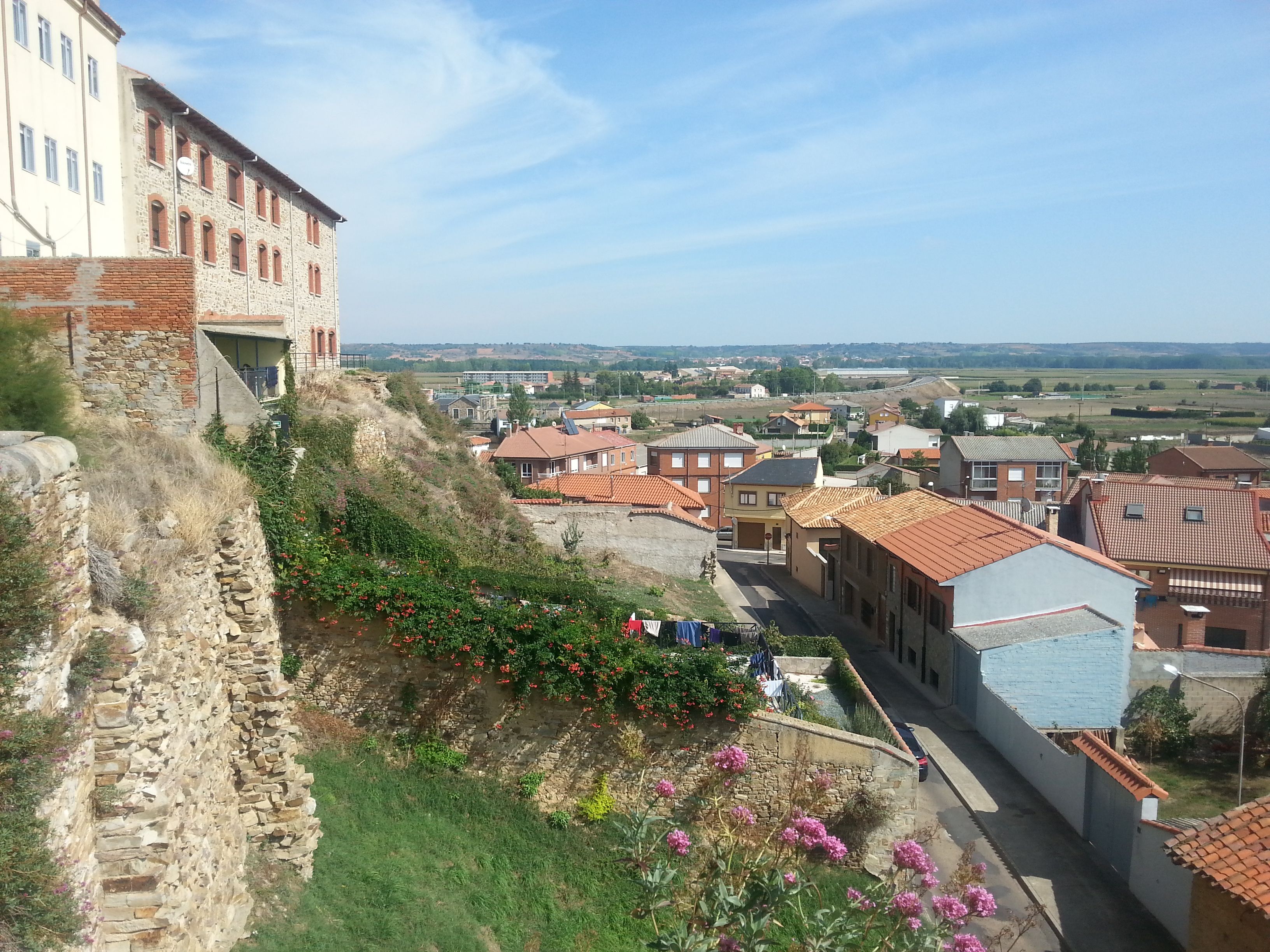
León grew at a Roman military site between the Bernesga and Torío rivers. The pilgrimage route approaches a city whose position and roads predate the cult of Saint James.
West of León, the long bridge at Hospital de Órbigo crosses the present river channel and a broad floodplain. Its many arches make sense when the surrounding ground is wet and the Órbigo spreads beyond its summer width. A short modern bridge would not have given medieval traffic the same dependable crossing.
At Astorga, the Camino reaches another Roman junction. The Vía de la Plata arrives from the south, while the French Way continues west. The route then climbs toward the Montes de León and the pass near Foncebadón before descending sharply into El Bierzo.
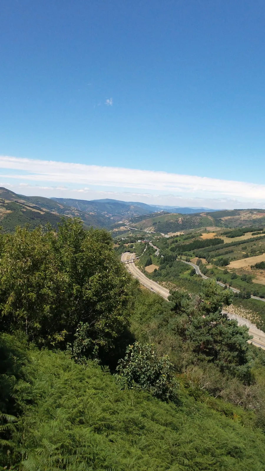
El Bierzo is a basin enclosed by mountains, with Ponferrada near the River Sil at its center. Leaving it requires another geographical decision. The Camino follows the narrow Valcarce valley, where river, road and settlements share limited space, before the ascent to O Cebreiro.
7. O Cebreiro is the gateway into Galicia
The climb to O Cebreiro is dramatic because it moves from the Valcarce valley onto the high ridge at the edge of Galicia. For centuries, fog, snow and wind made this a serious crossing. The hospital at O Cebreiro again appears in the place where geography created need.
After the descent toward Triacastela and Sarria, the character of the route changes. Galicia’s frequent streams, rounded ridges, enclosed lanes and dispersed hamlets produce shorter repetitions of climbing and descending. The challenge is no longer one open plateau or a single high pass. It is a succession of river valleys.
Portomarín shows how a crossing can survive while its physical setting changes. The historic town stood beside the Miño. When the Belesar reservoir was created in the twentieth century, important buildings were moved stone by stone to the new town above the water. The Camino still crosses at Portomarín, but both the bridge and town now belong to a remade landscape.
Why the stages still feel like separate chapters
Many Camino stages end at places where the terrain naturally pauses: beyond a pass, beside a bridge, inside a river basin or before the next exposed section. Religious houses, hospitals, markets and inns reinforced those stopping points over centuries.
This helps explain why two neighbouring stages can feel so different. The walk from Saint-Jean reaches across a mountain barrier. The road through the Meseta links widely spaced settlements across an open plateau. The approach to O Cebreiro follows a narrowing valley before climbing onto a ridge. These are geographical units as much as distances on an itinerary.
The exact marked line can still change around roads, reservoirs and urban development. The larger structure changes far less. The Camino Francés continues to pass through the same gateways: the western Pyrenees, the Ebro corridor, the Montes de Oca, the northern Meseta, El Bierzo and the high entrance to Galicia.
A modern map measures kilometers. The older route also measures where a person could cross, find water and reach shelter before the next difficult piece of ground.