Following the Camino can feel wonderfully simple: find the next yellow arrow and continue. In practice, the signs change between countries, regions and municipalities. Understanding their basic language makes navigation calmer.
Waymarking works through repetition. An arrow confirms a turn, a shell identifies the route and a stone marker reassures the walker that Santiago is getting closer. When one marker is missing, the wider sequence usually supplies the context.
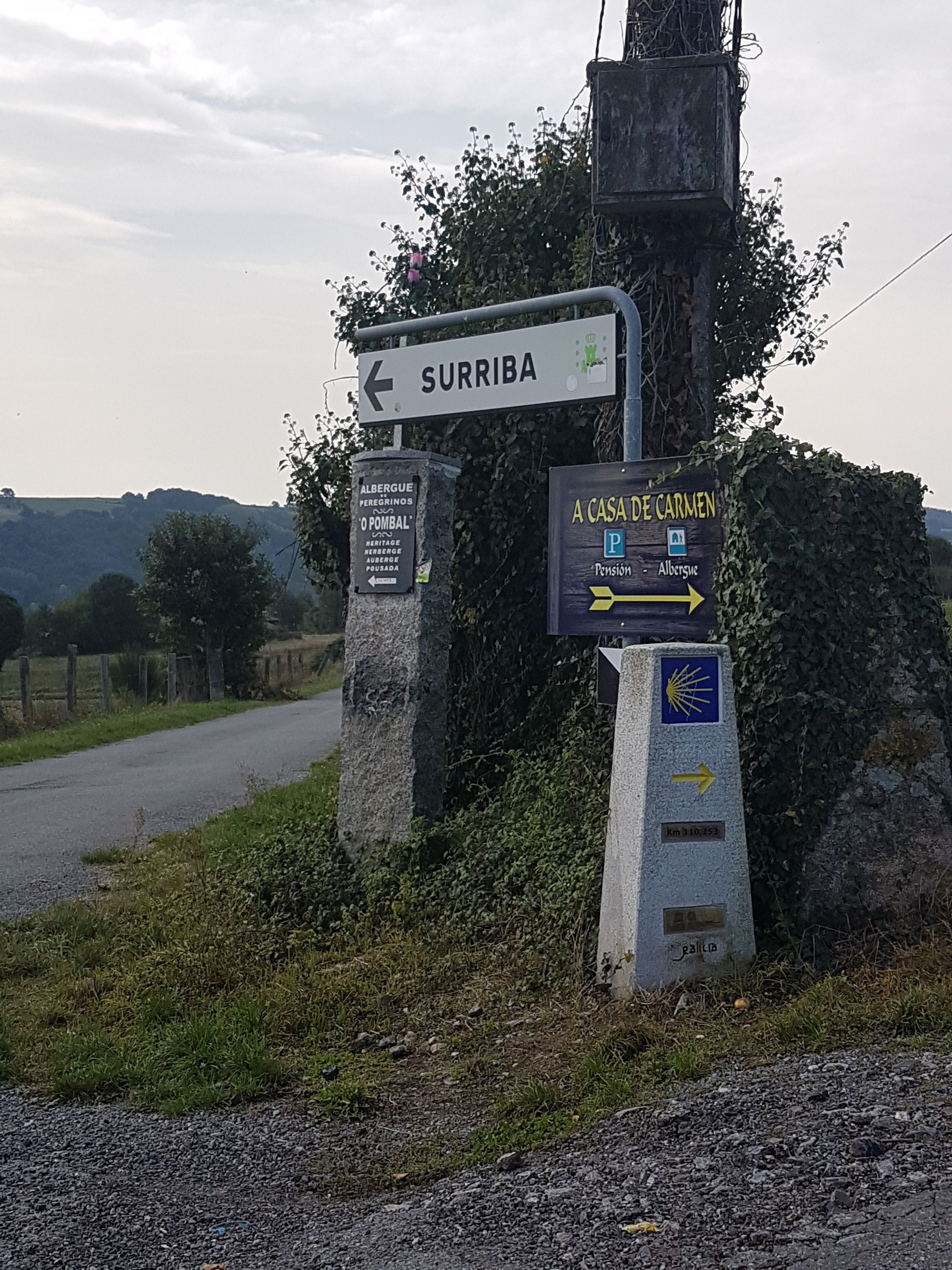
That system also has limits. Paint fades, vegetation grows and construction changes a junction. Decorative shells can be mistaken for directional symbols, while commercial arrows may lead toward a business rather than the official route. Temporary diversions may be newer than a printed guide or downloaded track. Our guide to detours on the Portuguese Way shows how these exceptions can appear in practice. Navigation is safest when the physical signs, current route information and expected geography support one another.
Most uncertainty is easiest to resolve at the junction itself. If a marker conflicts with the map or the expected next village, check before continuing. Returning ten meters is easier than retracing a kilometer.
The yellow arrow
The modern yellow arrow became one of the defining signs of the Camino’s revival. It may be painted on walls, posts, rocks or road surfaces. Its direct shape makes the intended turn easy to understand.
Paint fades and surfaces change. Carry current route information as a second reference when vegetation or construction hides an arrow.
The scallop shell
Shell symbols appear on plaques, milestones and paving. The rays are often understood as routes converging on Santiago. In Galicia, their orientation is used consistently within the regional marker system, but conventions elsewhere may differ.
Do not assume that the open or narrow side of every decorative shell points in the same direction. Look for an accompanying arrow or the alignment of the route.
Stone distance markers
Galician mojones identify the Camino and may show the remaining distance to Santiago. Distances can differ slightly between signs or mapping systems because routes and measurement points change.
A milestone is useful confirmation, not a promise that the hotel is exactly that distance away. Accommodation may lie beyond the route or require a transfer.
Signs in towns and on shared paths
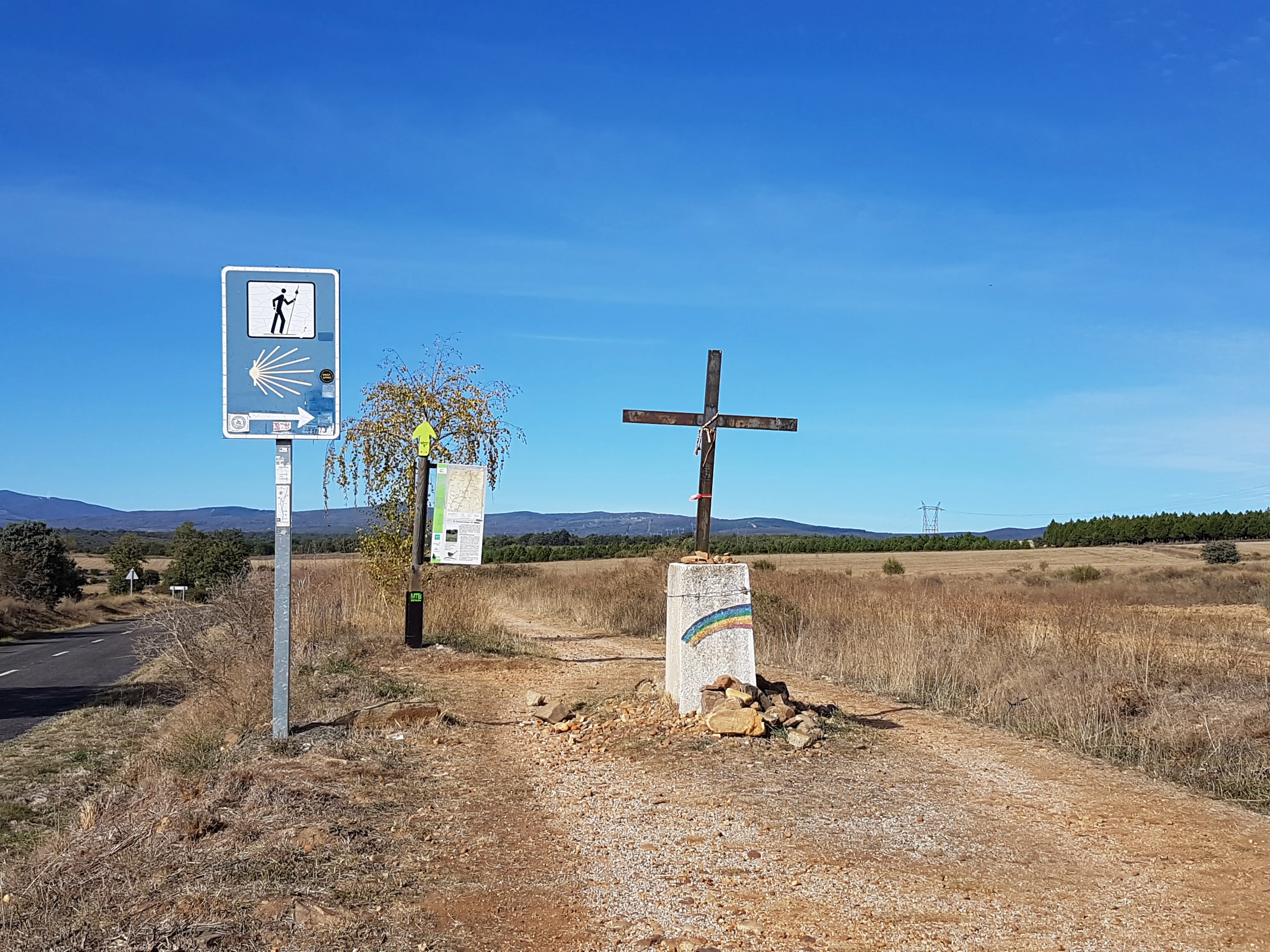
Urban routes may use metal shells in the pavement. Wooden posts are common in rural areas. Road signs, heritage panels and cycling-route markers can overlap with the walking Camino.
Color-coded hiking trails may share the same path temporarily and then separate. Confirm that the symbol belongs to your intended Camino.
When signs conflict
Roadworks can create temporary diversions that do not appear in an older guidebook. A clearly marked official diversion on the ground may therefore be more current.
Compare the sign with the personalized map or current route information. An unofficial arrow naming a café or accommodation may be a commercial detour.